Localisation
SPREP LIBRARY
Éditeur
Government of Palau
GIZ
Federal Ministry for Economic Cooperation and Development
Année de publication:
2011
Lieu de publication
Palau
Description physique:
70 p.
Numéro d'appel
[EL]
Pays concernés
Palau
Type de contenu
Langue
English
Identifiant de dossier:
474
Ancien numéro d'identification PEIN:
82144
Notes générales
Available online
Disponible en ligne
Rubrique(s) thématique(s)
Agriculture - Agriforestry - Labour resources
Degradation - Phosphate mining - Biodiversity
Food security - Palau
Résumé
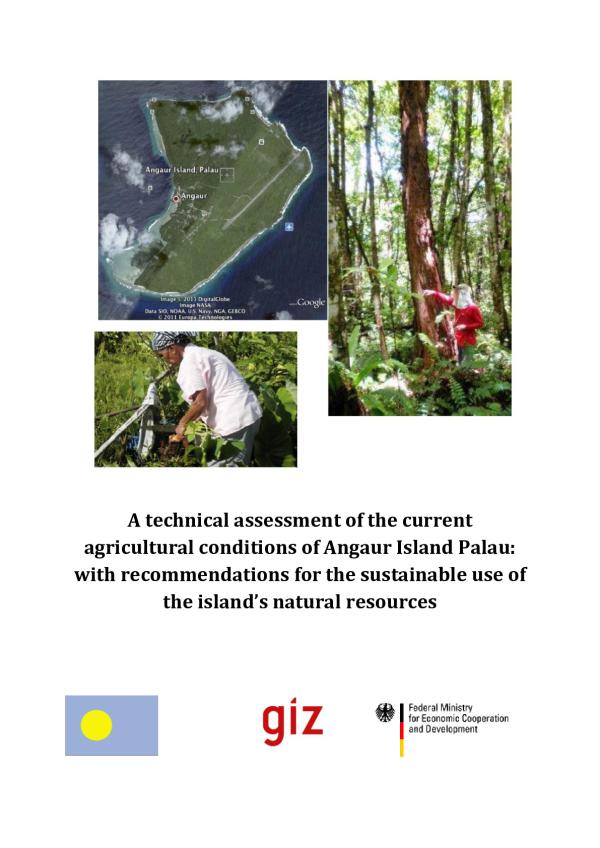
Angaur is a 8.4 sq. km island located (654' N, 134 09' E) in the southwestern Palau Islands. The island makes up one of the Republic of Palaus 16 states. Angaur has suffered considerable land degradation due to past phosphate mining as well as military action during WWII. Land degradation problems in recent years have been compounded by El NiñoSouthern Oscillation (ENSO) high tides exacerbated by a gradual increase in average sea level attributed to climate change.
Localisation
SPREP LIBRARY
Éditeur
Government of Palau
GIZ
Federal Ministry for Economic Cooperation and Development
Année de publication:
2011
Lieu de publication
Palau
Description physique:
70 p.
Numéro d'appel
[EL]
Pays concernés
Palau
Type de contenu
Langue
English
Identifiant de dossier:
474
Ancien numéro d'identification PEIN:
82144
Notes générales
Available online
Dossier créé: 21-Nov-2018
Dossier modifié: 18-Feb-2022

