Localisation
SPREP LIBRARY
Éditeur
Government of Vanuatu
Année de publication:
2015
Lieu de publication
Vanuatu
Description physique:
66p. : ill. (col.) ; 29cm.
Numéro d'appel
[EL]
Pays concernés
Vanuatu
Type de contenu
Langue
English
Identifiant de dossier:
219
Ancien numéro d'identification PEIN:
80288
Notes générales
Online only
Disponible en ligne
Rubrique(s) thématique(s)
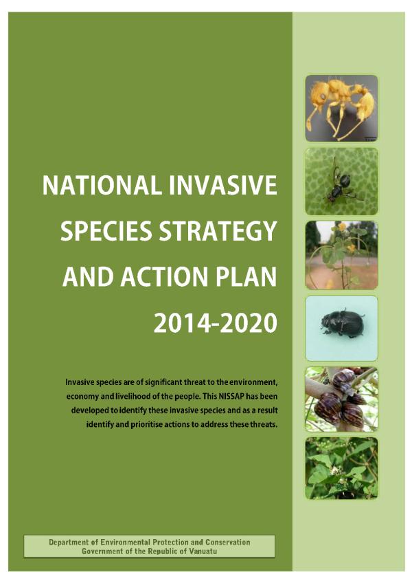
Invasive species - National strategy & plan - Vanuatu
Invasive species - Threats - Pathway control - Vanuatu
Résumé
Vanuatu is a Y-shaped archipelago located in the Southwest Pacific Ocean at 13-20o S, 166o 172o E. There is a distance of roughly 1,300 km from northernmost island to the southernmost. The countrys coastline extends for 2,528 km long and comprises over 80 islands with a total land area of 12,336 km2 , set within a 200- mile exclusive economic zone (EEZ) of approximately 680,000Km2 . Vanuatus islands are geologically young and were formed during the four main volcanic activity periods. The oldest islands are the Torres Group; this group of islands is part of the most northern province of TORBA. Santo the largest island in the SANMA province and Malekula, the larger island in the MALAMPA province, were formed over 22 million years ago. Pentecost and Maewo, islands are the PENAMA province are the second oldest, and were formed between 4 to 11 million years ago.
Thème(s):
Localisation
SPREP LIBRARY
Éditeur
Government of Vanuatu
Année de publication:
2015
Lieu de publication
Vanuatu
Description physique:
66p. : ill. (col.) ; 29cm.
Numéro d'appel
[EL]
Pays concernés
Vanuatu
Type de contenu
Langue
English
Identifiant de dossier:
219
Ancien numéro d'identification PEIN:
80288
Notes générales
Online only
Dossier créé: 02-Oct-2016
Dossier modifié: 16-Feb-2022

